Power Utilities Embrace GIS and Drones for Maintenance
ENR Construction Technology
AI SUMMARY
Major power utilities like PG&E are using geographic information systems (GIS) and drone technology to streamline maintenance operations and coordinate with contractors and design firms. This approach helps utilities better manage infrastructure inspections and maintenance planning across their service areas.
FROM THE ARTICLE
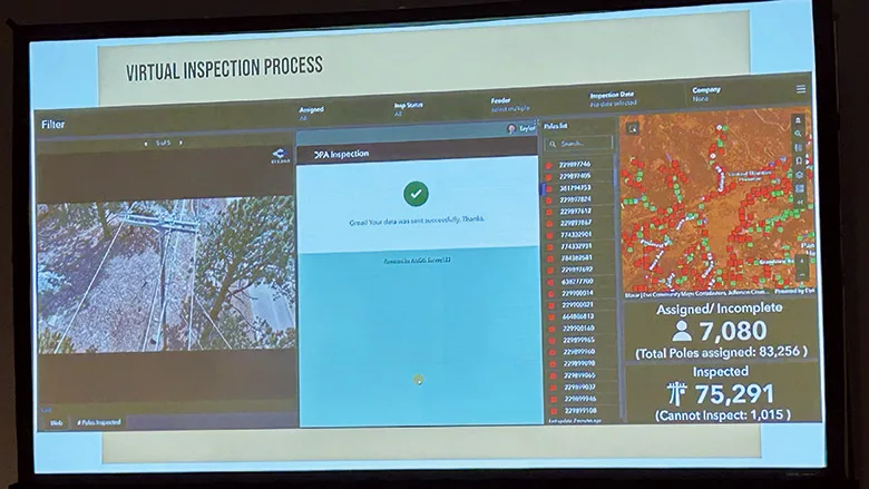
At Esri’s Infrastructure Management and GIS conference, held in Palm Springs, Calif., Oct. 28-30, large utilities such as PG&E showed off how they were using geographic information systems when working with contractors and design firms as consultants to help them manage maintenance and…
This story was originally published by ENR Construction Technology.
Read Full Story on ENR Construction TechnologyRelated Stories
Drones & RoboticsAgility Robotics reports $1.8M revenue ahead of humanoid SPACRobotics Business ReviewDrones & RoboticsMassRobotics shares member survey results around FCC restrictionsRobotics Business ReviewDrones & RoboticsEric Sivertson discusses FPGAs and robot securityRobotics Business ReviewDrones & RoboticsPressure sensors can help improve robotic gripping accuracyRobotics Business Review